Conflation is the process of matching features between data sets created at different times and based on different levels of accuracy and precision. Once features have been matched the goal is often to transfer attribute data from one data set to the other. As can be seen in the example below, the features in the green layer are to be matched to those in the red layer.
However, typically, the layers where conflation is to take place, do not overlay and as noted by the black circles, the two layers do not share the same number of features.
Conflation software therefore can not be a simple process of matching lines. Rather, a level of intelligence in the selection of the lines is required.
The following are two examples of conflation projects:
Update of attributes from an older data set to a new more accurate base. A municipality has traditionally relied on a 1:25000 road data from a 1992 acquisition. This data set has been modified with address ranges, zip codes, legislative boundaries, Police and Fire Precincts and a host of other related attributes.
Due to extensive new growth, the municipality now has funding for photogrammetery and plans to create 1:200 maps. Once these maps have been created the municipality is faced with transferring the attributes from the 1:25000 database to the new 1:200 data.
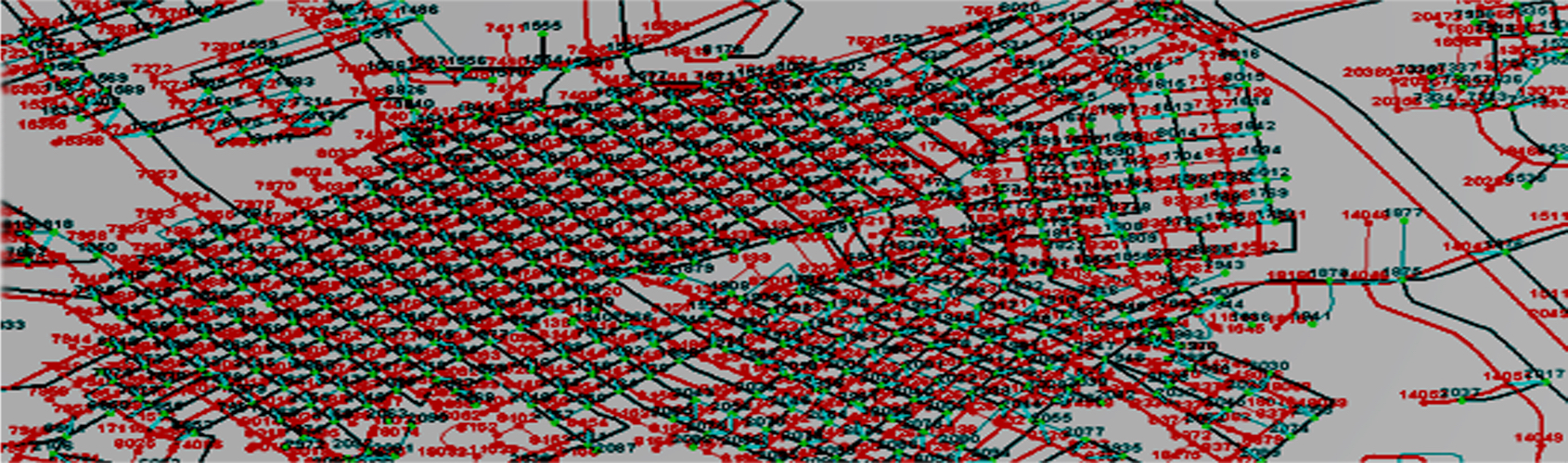
Additionally, since the reason for the new photogrammetery was to capture the new growth, there are a significant number of new lines in the 1:200 database which did not exist in the 1:25000 data set. As such, a one to one match is likely not possible. An example of this can clearly be seen in the graphic on the right where the blue layer represents the 1:25000 layer and the red represents the new 1:200 data set . NOTE: the new subdivision subdivision in the red 1:200 layer.
In this example, because of the new subdivision, the attributes from line marked "1" which is between node "a" and "b" has to be transferred to line "2" which is between nodes "c" and "d" and to line "3" which is between nodes "d" and "e", forming a one to many relationship.
Information sharing between two agencies. A city government has a newly created database of roads. The City's electric utility maintains electrical network information, including feeder line data on a subset of the road network created using a different base. The city wishes to incorporate the electrical feeder information into its road network in order to monitor the impact of scheduled blackouts on key facilities.
Conflation process must be used to merge these unlike databases. The result will be the addition of feeder data to the road database.
The key requirement in this example is to extract data from the much smaller electric road network and attach it to the larger and more complete road network.