- Client:
- Bureau of Reclamation
- Project:
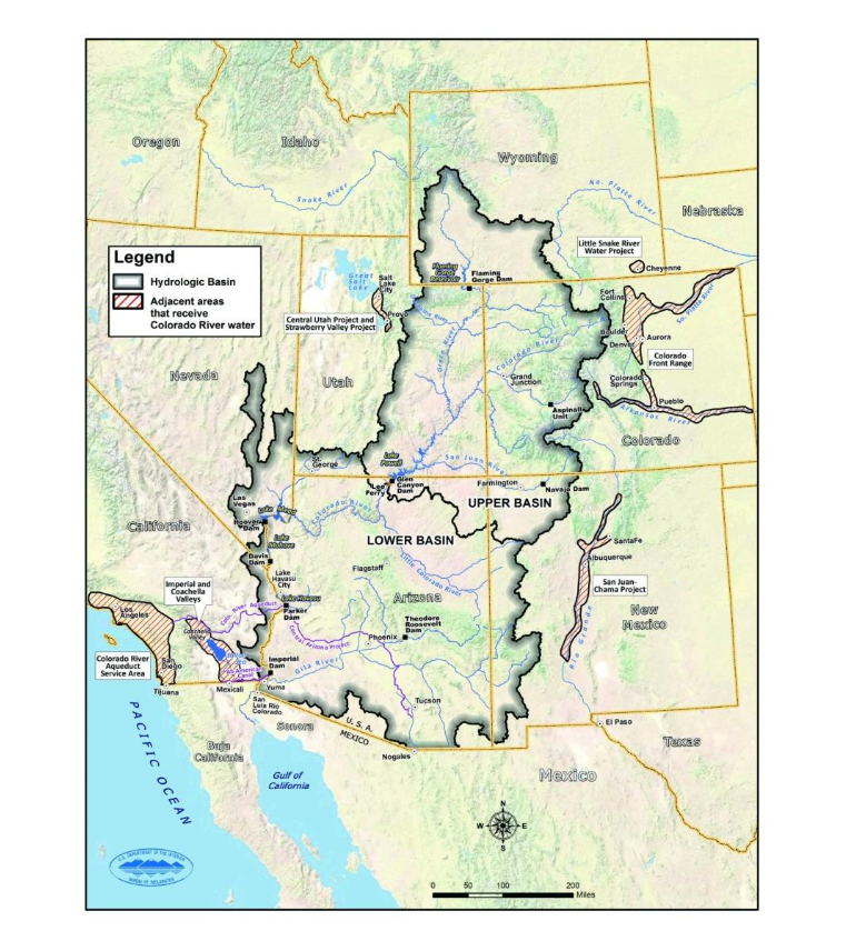
- GIS Pilot Project for the Lower Colorado River
- Duration:
- 1 year
- Project Cost:
- $250,000
- Software:
- ESRI Arc/Info
Project Description:
Created the first multilayer GIS database for the Lower Colorado River. The goal of the project was to use a combination of imagery and GIS to monitor areas where ground water associated with the Colorado River was used for agricultural purposes. The project also included the development of an analysis and visualization tool inside the Arc/Info GIS environment.